Via Czechia is a unique system of longest long-distance hiking, cycling and cross-country skiing trails in the Czech Republic, running across and around the whole country. Some parts are also navigable on canoes or kayaks. No matter whether a hiker, biker, skier or paddler – you can give it a go! Via Czechia offers all four trail alternatives, in total mileage exceedeing 10,000 km.
Via Czechia passes through mountain sceneries, nature reserves, forests and meadows and other places of natural beauty, and also leads you to stunning cultural and historical places along the way.
Unforgettable Journey
Via Czechia long-distance tourist and pilgrim trails are inviting you to explore and enjoy the rich natural, historical and cultural heritage of the country that forms the heart of Europe.
Come and cross this small country from its westernmost to the easternmost border, explore its rich cultural heritage first shaped by the Celtic tribe of Boii, who left their mark not only in the name of the country “Bohemia” but also in the landscape by having built their centuries-lasting oppida. Stop in small towns and sites of Christian pilgrimage nestled along the way – the silent witnesses of the glory of the ancient Kingdom of the Czech Crown, and let the footpaths lead you again through the countless mountain ranges, picturesque sceneries and deep forests.
Trails
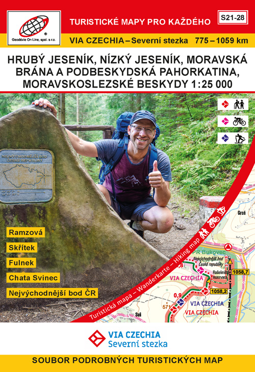
 North Trail – the longest and hardest hiking trail in Czechia offers 1,058 kilometers long route between westernmost and easternmost points of the country. Trail climbs over 50 peaks higher than 1,000 meters and goes through the highest, lowest, westernmost and easternmost points of Czechia. Hiking trail is broken to 47 daily stages, each roughly 20 – 25 kilometers long. The bikers’ alternative is even longer – it is 1,140 kilometers long and is doable in 2-3 weeks. In winter you can travel on total of 632 kilometers of long-distance cross-country skiing tracks.
 South Trail – second longest hiking trail in Czechia is 1,052 kilometers long and is broken to 44 daily stages, each roughly 20 – 25 kilometers long. The bikers’ alternative is 1,080 kilometers long and is doable in two to three weeks. In winter you can enjoy total of 319 kilometers of long-distance and mostly machine grommed cross-country skiing tracks. Both North Trail and South Trail roughly copy the border-line and lead over all of the Czech highest mountain peaks. By completing both trails, you will hike or ride almost a perfect circuit of 2,200 kilometers.
 Central Trail – this route also connects the westernmost and easternmost points of Czechia – but goes inland across the geometrical centre of the country. Hiking trail is 1,036 kilometers long and is broken to 47 stages, each roughly 20 – 25 kilometers long. The bikers’ alternative is 1,032 kilometers long and is doable in two to three weeks. Paddlers can enjoy 339 kilometres of navigable rivers of Strela, Berounka, Sázava, Chrudimka and Svratka.
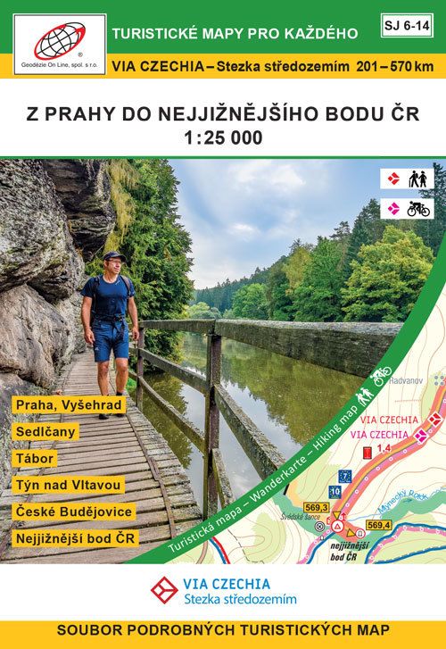
 Inland Trail – this route is connecting the northernmost and southernmost points of Czechia and takes you to many picturesque cities and little towns such as Prague, Mělník, Tábor or Český Krumlov. Hiking trail is 569 kilometers long and is broken to 27 stages, each roughly 20 – 25 kilometers long. The bikers’ alternative is 547 kilometers long and is doable in about 10 days. Paddlers can enjoy beautiful rivers of Vltava and Luznice, part of the route can be also done on sea kayaks.
 Silesian Trail – this route is leading across Czech Silesia; connecting triple border of Moravia, Silesia and Poland with easternmost point of Czechia. Hiking trail is 380 kilometers long and is broken to 18 stages, each roughly 20 – 25 kilometers long. The bikers’ alternative is 385 kilometers long and is doable in about one week. Stages 19 and 20 lead from Opava to Fulnek and form a 42 km long link with the North Trail for those who want to walk the entire Moravian-Silesian Beskydy.
 Czech-Moravian Trail – shortest of Via Czechia trails is following the historical Czech-Moravian border, which existed from 12th century untill 1948. The Trail also follows the main European watershed (or Continental Divide), separating basins of the Black Sea and the North Sea. Hiking trail is 345 kilometers long and is broken to 18 stages, each roughly 20 – 25 kilometers long. The bikers’ alternative is 337 kilometers long and is doable in about one week.

Easy to Plan
For planning, you can use a great online tool Mapy.cz with all necessary information on every stage (such as the level of difficulty, elevation gain, shelters, natural springs, accommodation and food). Links to all stages and gpx files are to be found on this website.
You don’t have to hike or ride the entire trail at once. The trails are broken down to approximately 4-day stages the start and finish of which are served by public transportation.
Each daily stage finishes in a place that caters for hikers and bikers and offers convenient accommodation. We mapped the providers along the trail and each trail has list of recommended mountain lodges, hotels or guest houses.
Easy to Navigate
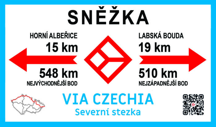
In terrain the trails are marked by Via Czechia signposts, which are on main crossroads or important tourist points. Otherwise you follow the hiking/cycling paths marked by color-coded signs of the Czech Tourist Club.
You can also use our itineraries, which are freely downloadable as PDF documents or accesible online as shared google sheets. For some trails we translated these to English, others will be soon ready too.
Some trails are also mapped on special edition of the paper maps in resolution 1:25.000. You can buy them here