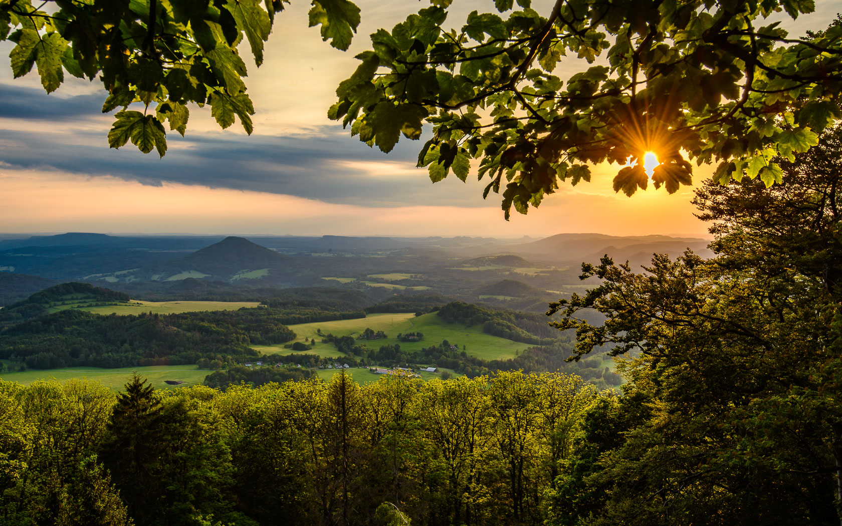
The North Trail for hikers is 1,058 kilometers long and is broken down to 47 daily stages, each roughly 20 – 25 kilometers long. The bikers’ alternative is even longer – it is 1,140 kilometers long and is doable in two to three weeks. And yet, this is not all. The Northern Trail is beautiful in winter, when you can enjoy incredible 632 kilometers of uninterrupted and mostly machine groomed cross-country skiing tracks.
The North Trail passes through 18 mountain ranges and geographical areas, over eight protected landscape areas, two national parks and countless national nature reserves and natural monuments. If you complete the whole trail, you will have climbed over 50 peaks higher than 1,000 meters and set foot on the highest, lowest, westernmost and easternmost points of Czechia.
| Trail section | Length (hiking) | Days (stages) | Length (bike) | Length (ski) | Start | Finish |
| 1. Fichtel Mountains | 72 km | 3 | 73 km | 16 km | Westernmost point | Kraslice |
| 2. Ore Mountains | 186 km | 8 | 186 km | 63 km 85 km |
Kraslice | Tisá |
| 3. Elbe Sandstone Mountains and Czech Switzerland | 71 km | 4 | 54 km | – | Tisá | Studený |
| 4. Lusatian Mountains | 52 km | 2 | 52 km | 48 km | Studený | Jítrava |
| 5. Jested Ridge | 22 km | 1 | 22 km | – | Jítrava | Chrastava |
| 6. Jizera Mountains | 72 km | 3 | 51 km | 33 km | Chrastava | Harrachov |
| 7. Giant Mountains | 70 km | 4 | 89 km | 74 km | Harrachov | Trutnov |
| 8. Broumov Highlands | 93 km | 4 | 79 km | 51 km | Trutnov | Dobrošov |
| 9. Eagle Mountains | 73 km | 3 | 83 km | 42 km 26 km |
Dobrošov | Suchý Vrch |
| 10. Králický Sněžník | 45 km | 2 | 77 km | 24 km | Suchý Vrch | Kladské sedlo |
| 11. Rychleby Mountains | 20 km | 1 | 35 km | 18 km | Kladské sedlo | Ramzovské sedlo |
| 12. High Ash Mountains | 41 km | 2 | 78 km | 44 km | Ramzovské sedlo | Skřítek pass |
| 13. Nízký Jeseník Mountains | 102 km | 4 | 105 km | – | Skřítek pass | Fulnek |
| 14. Moravian Gate | 25 km | 1 | 27 km | – | Fulnek | Svinec |
| 15. Moravian–Silesian Beskids | 113 km | 5 | 129 km | 108 km | Svinec | Easternmost point |
| Total | 1058 km | 47 | 1140 km | 632 km |
 Hiking routes by stages
Gpx files (Zip archive) Cycling routes by sections
Gpx files (Zip archive) Nordic skiing routes by sections
Gpx files (Zip archive)
 Itinerary (pdf file)

