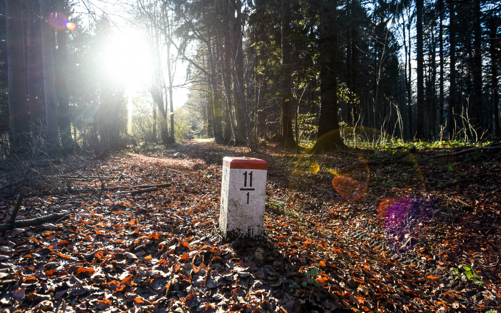
The South Trail for hikers is 1,052 kilometers long and is broken down to 44 daily stages, each roughly 20 – 25 kilometers long. The bikers’ alternative is even longer – it is 1,080 kilometers long and is doable in two to three weeks. And yet, this is not all. The South Trail is beautiful in winter, when you can enjoy 319 kilometers of long-distance and mostly machine grommed cross-country skiing tracks.
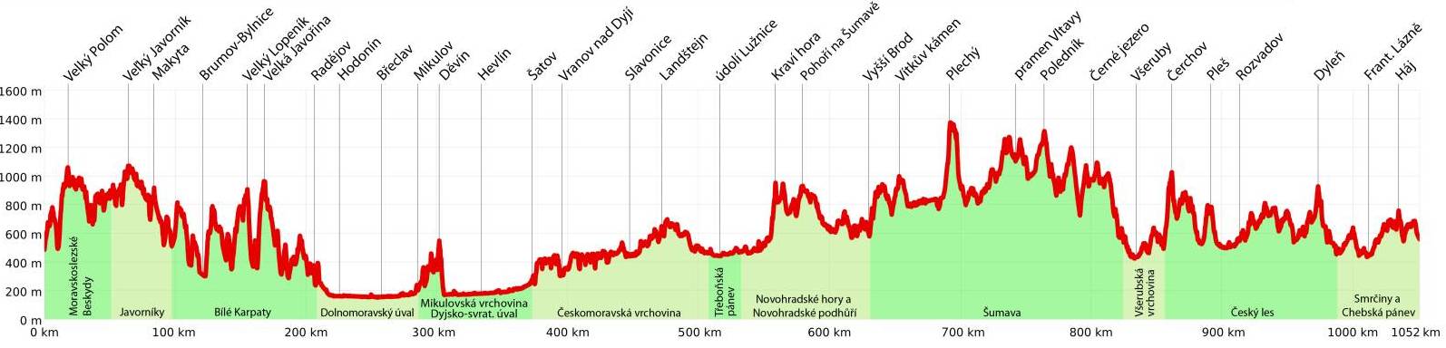
The South Trail passes through 15 mountain ranges and geographical areas, over six protected landscape areas, two national parks and countless national nature reserves and natural monuments. If you complete the whole trail, you will have climbed over 20 peaks higher than 1,000 meters and set foot on the easternmost, southernmost and westernmost point of Czechia.
| Trail section | Length (hiking) | Days (stages) | Length (bike) | Length (ski) | Start | Finish |
| 1. Moravian–Silesian Beskids | 52 km | 3 | 61 km | 55 km | Easternmost point | Bumbálka |
| 2. Maple Mountains | 45 km | 2 | 51 km | 44 km | Bumbálka | Střelná |
| 3. White Carpathians | 110 km | 5 | 125 km | 24 km | Střelná | Radějov |
| 4. Dolnomoravský úval | 83 km | 3 | 85 km | – | Radějov | Mikulov |
| 5. Mikulov Highlands and Dyjsko-svratecký úval | 80 km | 3 | 80 km | – | Mikulov | Šatov |
| 6. Bohemian-Moravian Highlands | 138 km | 6 | 132 km | – | Šatov | Chlum u Třeboně |
| 7. Trebon Basin | 28 km | 1 | 29 km | – | Chlum u Třeboně | Petříkov |
| 8. Novohradské Mountains | 93 km | 4 | 100 km | 34 km | Petříkov | Vyšší Brod |
| 9. Šumava Mountains | 192 km | 8 | 192 km | 130 km | Vyšší Brod | Svatá Kateřina |
| 10. Všeruby Highlands | 33 km | 1 | 31 km | – | Svatá Kateřina | Česká Kubice |
| 11. Bohemian Forest | 133 km | 5 | 129 km | 32 km | Česká Kubice | Starý Hrozňatov |
| 12. Fichtel Mountains | 65 km | 3 | 65 km | – | Starý Hrozňatov | Nejzápadnější bod ČR |
| Total | 1052 km | 44 | 1080 km | 319 km |
 Hiking roures by stages
Gpx files (Zip archive) Cycling routes by sections
Gpx files (Zip archive) Nordic skiing routes by sections
Gpx files (Zip archive)![]() Itinerary (PDF document)
Itinerary (PDF document)